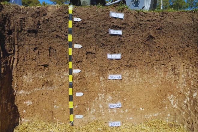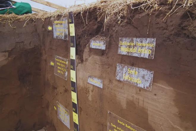

SisINTA allows searches by location and attributes, whose profiles can be grouped into series or projects. In turn, the stored data can be saved with different levels of access, both for the general public and for authorized users. The system uses a template similar to the field sheet from the soil survey manual to streamline data entry. The data can be exported to tables for use in spreadsheets, statistical software, or GIS. On the other hand, the system has soil profiles from all regions of the country.
“Knowing about soils is an essential tool for decision-making. It is fundamental to seek more profitable productive alternatives by implementing appropriate technologies, aimed at the proper use of the resource in a sustainable way,” said Darío Rodríguez, from the INTA Soil Institute.

It is possible to view and download it through the INTA Digital GEO platform, an open repository of geospatial data and maps generated from the collaboration of various INTA research groups. “Its objective is to add value to the processes of analysis, management, and decision-making in the public, private, and academic-scientific sectors,” concluded Rodríguez.

